A network of sites, not a single sensor
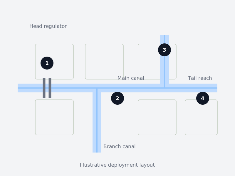
Each device sits where it sees the most useful thing. This is an illustrative layout; every deployment is designed around the real site.
- 1Head regulatorTarang
Records the water level near the head regulator.
Why here: Shows how levels change during canal operation.
- 2Main canal stationPravaah
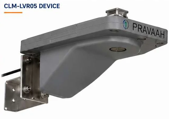
Records water level and surface velocity at a suitable measuring section.
Why here: Adds velocity information alongside the canal level.
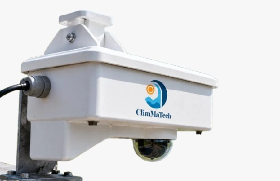
- 3Branch junctionDoordrishti
Combines radar readings with camera views and site-configured event detection.
Why here: Operators can visually check conditions when readings change.
- 4Tail reachTarang
Records water level at the downstream reach.
Why here: Helps teams compare upstream and downstream conditions without a visit for every reading.
From observation to action
Observe
Sensors at the regulator, main canal, branches and tail reaches record water level and, where required, surface velocity.
Decide
Irrigation teams compare trends and threshold alerts with operating schedules and camera views to identify sites that need attention.
Act
Operators plan field inspections and water-delivery adjustments using the readings. Gate or pump operation remains with the existing control system.
Each part covers what the others cannot
Level points across the network
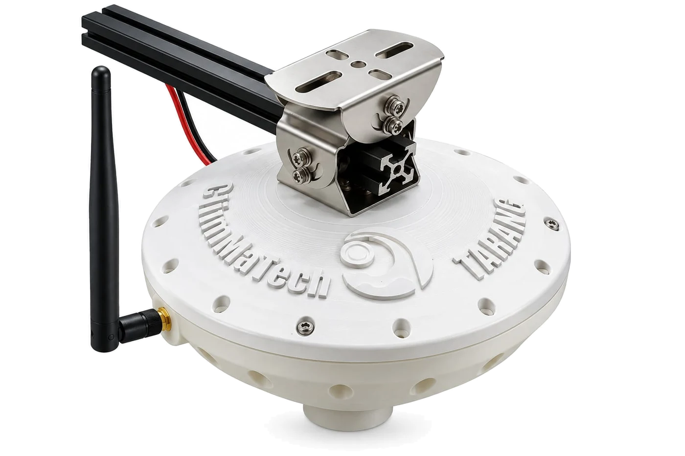
Use compact Tarang sensors where only level is required, and add Pravaah at sections where surface velocity matters.
A picture at the critical junction
Doordrishti adds visual verification where debris or changing conditions need an operator to look closer.
Data for your HIS
HIS means Hydrological Information System: the broader collection, processing, storage and sharing of hydrological data. Canal telemetry supplies observations to it; the data interface is agreed for each project.
Flow estimates with site calibration
If discharge estimates are required, add a surveyed cross-section and a validated relationship between surface and mean velocity. Radar level and surface velocity alone are not a direct discharge reading.
Canal conditions change between field visits
Manual readings leave gaps between the head regulator, branch canals and tail reaches. Operators may learn about unusual levels or interrupted delivery only after a complaint or a site visit.
A live view from head regulator to tail reach
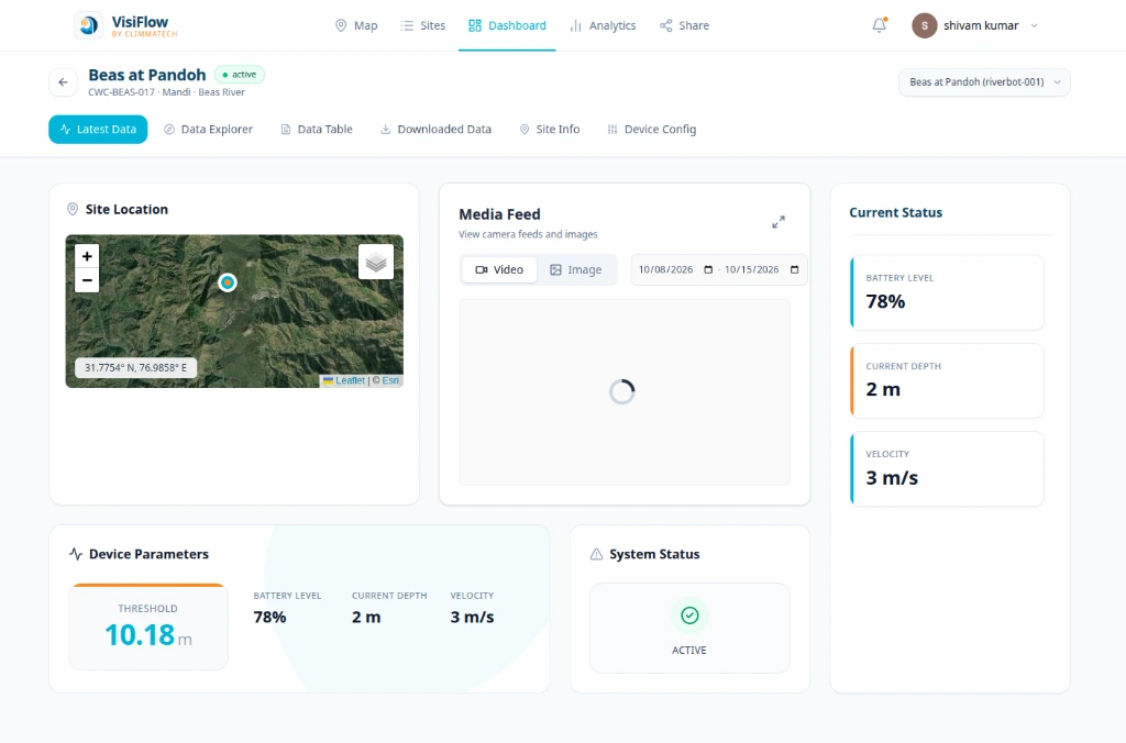
Radar sensors record canal water level and surface velocity from above the water. A shared view of trends, threshold alerts and optional camera images helps irrigation teams identify changing conditions and decide where to send field staff.
Explore the platformBuilt from these components
Begin with Tarang at the head regulator and tail reach, add Pravaah at a suitable main-canal section, and use Doordrishti where visual verification is valuable. Agree the data connection to DeviceCloud or your existing HIS.
A path you can follow step by step
Start at the regulator and tail reach
Install level sensors at the canal locations that most need regular observation.
Add main-canal velocity
Place Pravaah at a suitable measuring section, selected after a site survey.
Verify critical junctions
Add Doordrishti camera and radar monitoring where visual confirmation helps operations.
Connect the wider information system
Bring readings into DeviceCloud or agree an interface to the existing HIS. Use a compatible existing logger where required; the ClimMaTech Data Logger is upcoming.
Frequently asked questions
Is canal monitoring the same as an HIS?
No. HIS stands for Hydrological Information System and covers collecting, processing, storing and sharing hydrological data. A canal monitoring network supplies field observations to that wider system.
Can the system measure canal discharge?
Radar measures water level and surface velocity. Calculating discharge also requires a surveyed cross-section and a validated relationship between surface and mean velocity, configured for the measuring site.
Does it automatically control canal gates or pumps?
The solution provides monitoring and data integration. Automatic gate or pump control is not included in the standard offering; it requires separate actuators, control logic and integration with the existing operating system.
Can it work with our existing HIS or SCADA?
Devices support interfaces such as MQTT, Modbus and open APIs, depending on the selected device. We agree the data mapping, network access and integration scope with your team before deployment.
Where should the sensors be installed?
Typical locations include the head regulator, main-canal measuring sections, branch junctions and tail reaches. Final positions depend on mounting clearance, water surface conditions, power and communication coverage.
How much does a canal monitoring system cost?
We prepare a proposal for each project based on the sites, devices, telemetry and integration required. Share your canal layout and monitoring needs with our team.