
The Climate Intelligence Blog
News, research, and technical insights on flood prevention, river monitoring, and resilient infrastructure.
How far can a siren be heard? Sound propagation and coverage design for community warning
The acoustics behind outdoor warning sirens: distance loss, air absorption, terrain shielding, background noise and building attenuation, with worked numbers and a method for planning coverage in a valley.
Telemetry for remote hydromet stations: link budgets for GSM, LoRa and satellite
How to decide whether a river station should use cellular, LoRa or satellite, with the path-loss arithmetic, terrain obstruction, duty-cycle limits, airtime, energy and reliability patterns that decide it.
Tipping-bucket rain gauges: resolution, error sources, siting and calibration
How a tipping-bucket gauge turns rain into pulses, what limits its accuracy at both ends of the intensity range, why the gauge samples almost nothing of the catchment, and how to check one.
Rating curves: from stage to discharge, and how far to trust them
How a stage-discharge relation is built and fitted, why extrapolating it to a flood is where the largest errors hide, what makes it shift or loop, and what to do about all of it.
Surface velocity radar for rivers: Doppler physics, the velocity coefficient and noise
How a radar measures the speed of a river it never touches, what the number really represents, where it goes wrong, and how to turn it into discharge with an honest uncertainty.
Flash floods and river floods: the hydrology of warning time
Why a flash flood leaves minutes and a river flood leaves days, how to work out how much time a system can actually buy, and how that decides sensor placement, reporting rates and alarm design.
River monitoring in hill and Himalayan catchments: response times, siting, power and detection logic
Steep catchments respond in minutes to hours. Here is the hydrology behind that, and what it means for where sensors go, how they are powered and connected, and how an alarm should be triggered.
How to specify a river water level station: range, accuracy, mounting, power and data quality
An engineering checklist with the calculations behind it: setting the measuring range, deriving the accuracy you need from the discharge you want, checking beam geometry, sizing power and testing the station before you accept it.
Radar, ultrasonic, float and pressure water level sensors compared: physics, error budgets and field behaviour
How each of the four common stage sensors actually measures, where its error comes from, and what the standards and field studies say about each. With worked numbers.
RTDAS explained: architecture, network design and data quality for real time hydromet monitoring
What a real time data acquisition system is made of, how to decide where stations go and how often they report, and what separates a network that works from one that quietly stops.
Can radar measure river discharge? Methods, uncertainty budgets and what a station can honestly report
Non-contact radar gives you river stage and surface velocity. Turning those into flow takes a surveyed channel, a calibrated coefficient and an honest uncertainty. Here is how the methods compare and how to plan for each.
Early warning dissemination: channels, the Common Alerting Protocol and writing a warning people act on
No single channel reaches everyone. How sirens, SMS, cell broadcast and apps complement each other, how the Common Alerting Protocol structures an alert, and what the research says a warning message must contain.
Inside an AWLR and AWVLR station: interfaces, resolution, power, protection and data integrity
What an automatic river water level recorder is made of, how the sensor talks to the logger and why that choice can cost you millimetres, and what keeps a station honest for years.
Beyond the device: Aagah, DeviceCloud and the Rakshak Control Centre
Sensors and sirens do the work on site. Three pieces of software make sure the right people can see it and act on it.
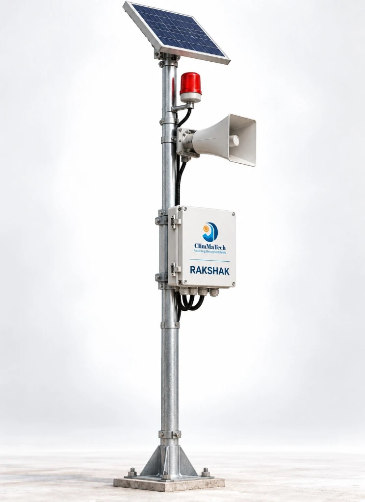
GSM vs LoRa for flood warning sirens: how the last mile gets its alert
A warning is only as good as its slowest link. A practical look at choosing GSM, LoRa or VSAT for community sirens.
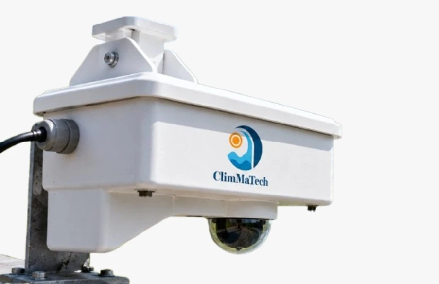
Edge AI for flood monitoring: seeing the event, not just the number
Why we put the intelligence on the device, and what it means for sites where the network is the first thing to fail.
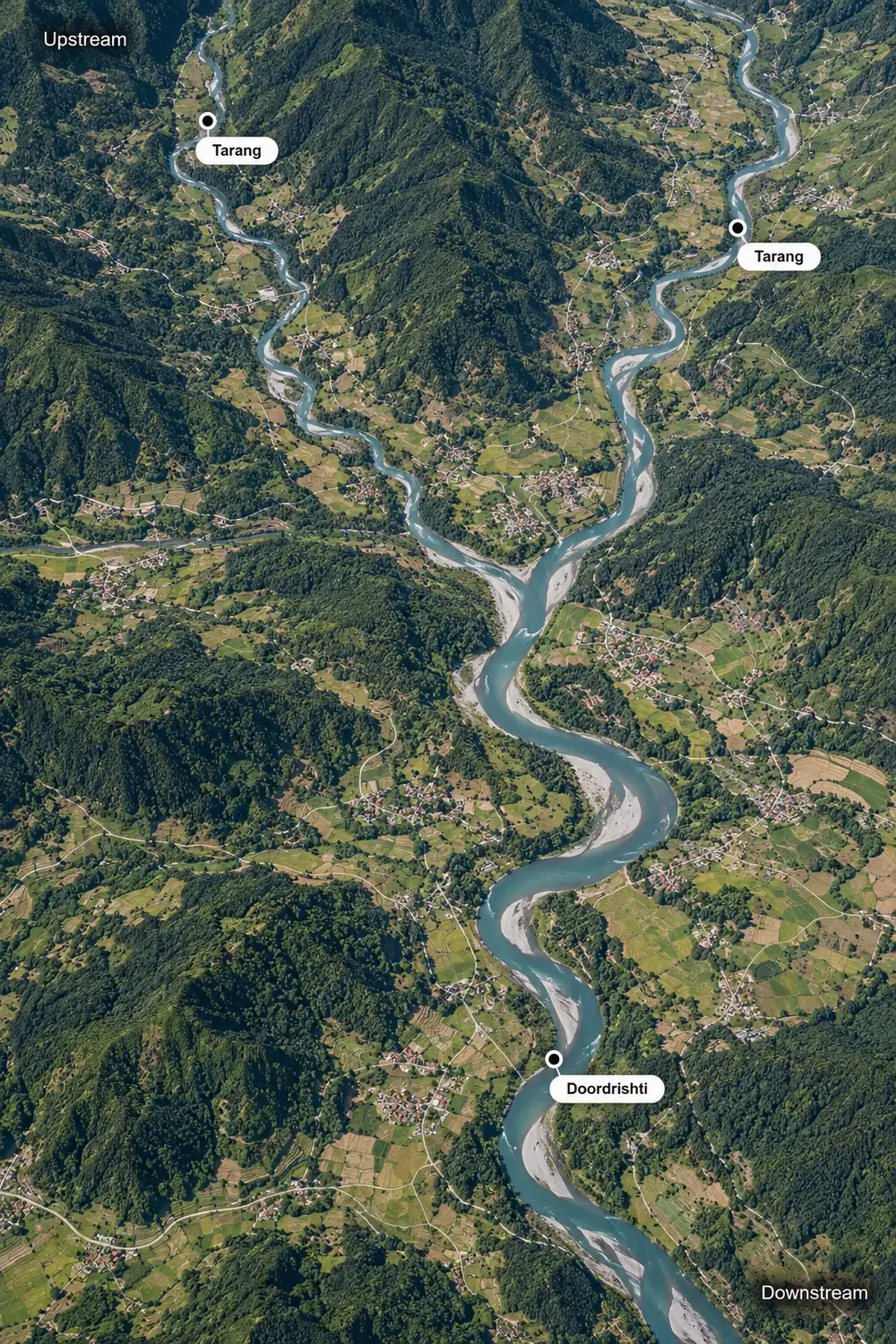
How a flood early warning system works: observation, forecasting, decision and response
A flood warning is a chain of five links. Each has its own engineering, its own failure modes and its own share of the time you have. Here is how the chain fits together, with a worked routing example and the numbers that measure whether it works.
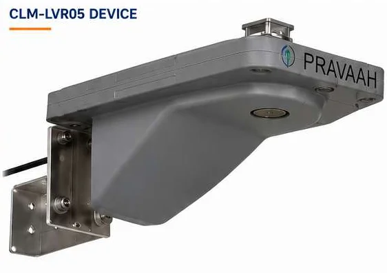
Why surface velocity matters as much as water level
A river's height tells you how much water there is. Its speed tells you how soon it will arrive.
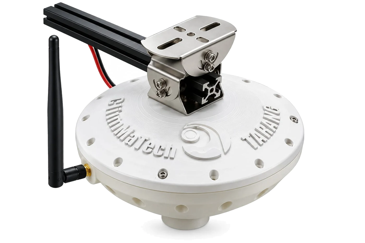
How FMCW radar measures water level: chirps, beat frequency, phase and the installed error budget
How a radar that never touches the river reaches millimetre precision, what limits it in the field, and why the accuracy on the datasheet is not the accuracy of the installed station.

Seven Minutes to the Border: A Forensic Reconstruction
A catastrophic flood tore down the Nepal–China frontier on 26 August 2026. The official story was a glacial lake bursting its banks. The timing says something else entirely happened.