A network of sites, not a single sensor
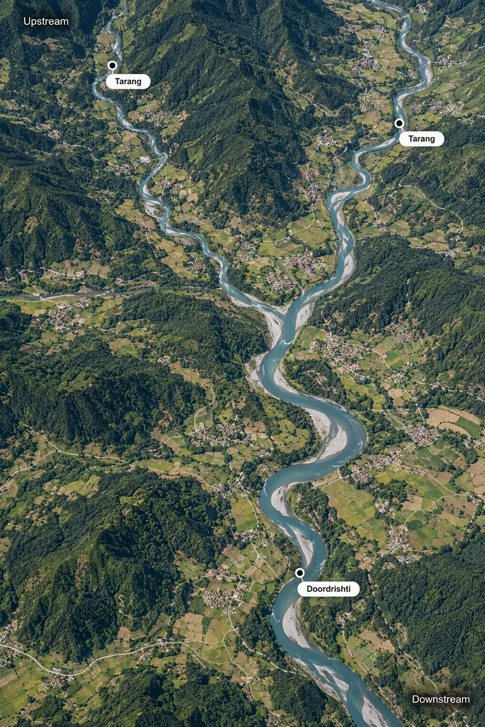
Each device sits where it sees the most useful thing. This is an illustrative layout; every deployment is designed around the real site.
- 1Catchment rain stationRain Gauge
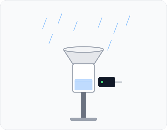
A tipping-bucket gauge with an 8 in (about 200 mm) collector records each 0.25 mm of rain as it falls.
Why here: Rain upstream is the earliest sign of a rise to come, hours before the river reacts.
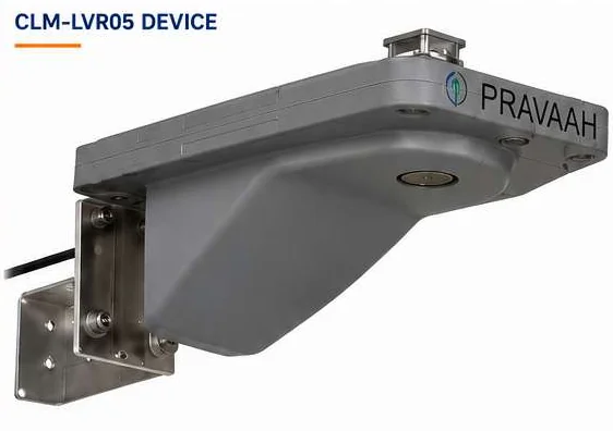
- 2Main river stationPravaah
An AWVLR station: measures water level and surface velocity together from a bridge.
Why here: Level says how high the river is. Velocity says how quickly the water is moving.
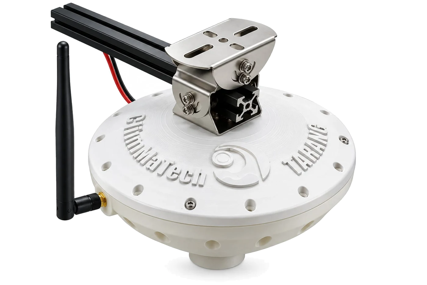
- 3Tributary stationTarang
An AWLR station: measures water level on a feeder channel.
Why here: A low-power level point, so many channels can be covered across a basin.
- 4Weather stationAutomatic Weather Station
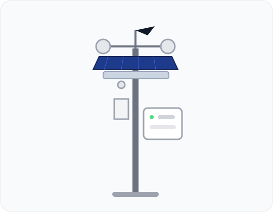
Adds weather measurements at a key site. Our own station launches later, and a partner can supply one now if you need it.
Why here: Weather and river readings in one record make the picture easier to interpret.
- 5Downstream gauging sitePravaah
Measures level and velocity below the confluence.
Why here: Comparing upstream and downstream readings shows how water moves through the basin.
From observation to action
Observe
Stations across the basin record rainfall, water level and surface velocity automatically, around the clock.
Decide
Readings from every station arrive in one place, where thresholds, trends and comparisons show how the basin is responding.
Act
Authorities see the whole basin at once, receive alerts when thresholds are crossed, and can trigger warnings where people are at risk.
Each part covers what the others cannot
Rain, level and velocity together
Rainfall shows what is coming, level shows what is happening, and velocity shows how fast it is moving. Together they explain a rise, not just report it.
One design, many sites
The same stations repeat across the basin, so a network can start with a few and grow without replacing anything.
Telemetry that suits each site
GSM (2G / 3G / 4G) where there is coverage, LoRa for local links, and satellite for sites beyond the networks.
One central view
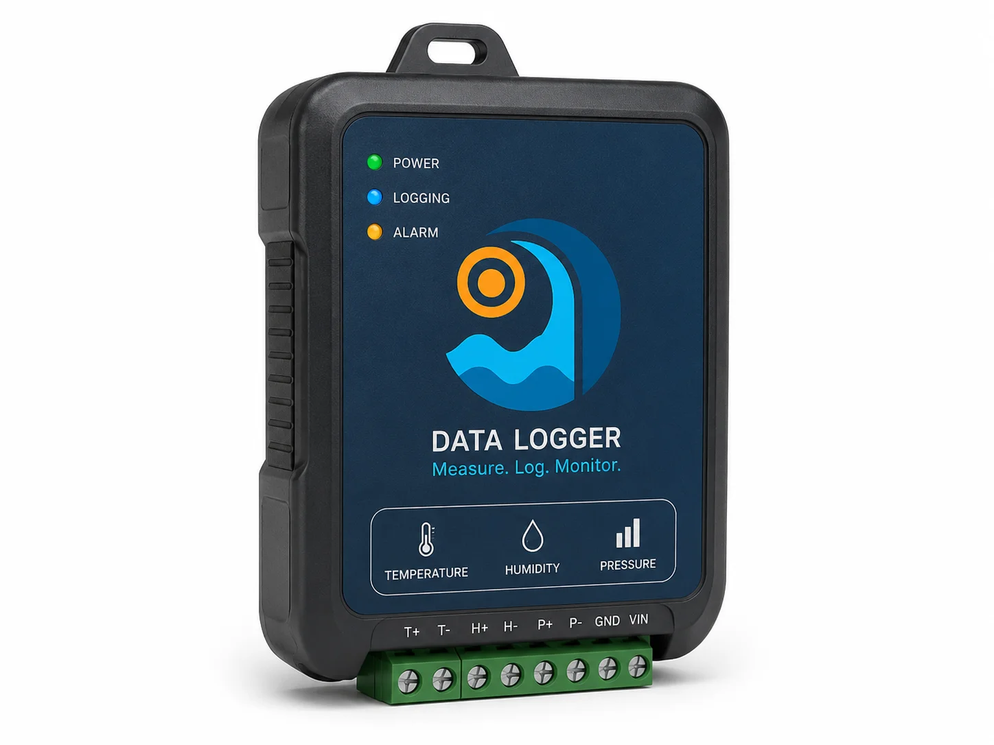
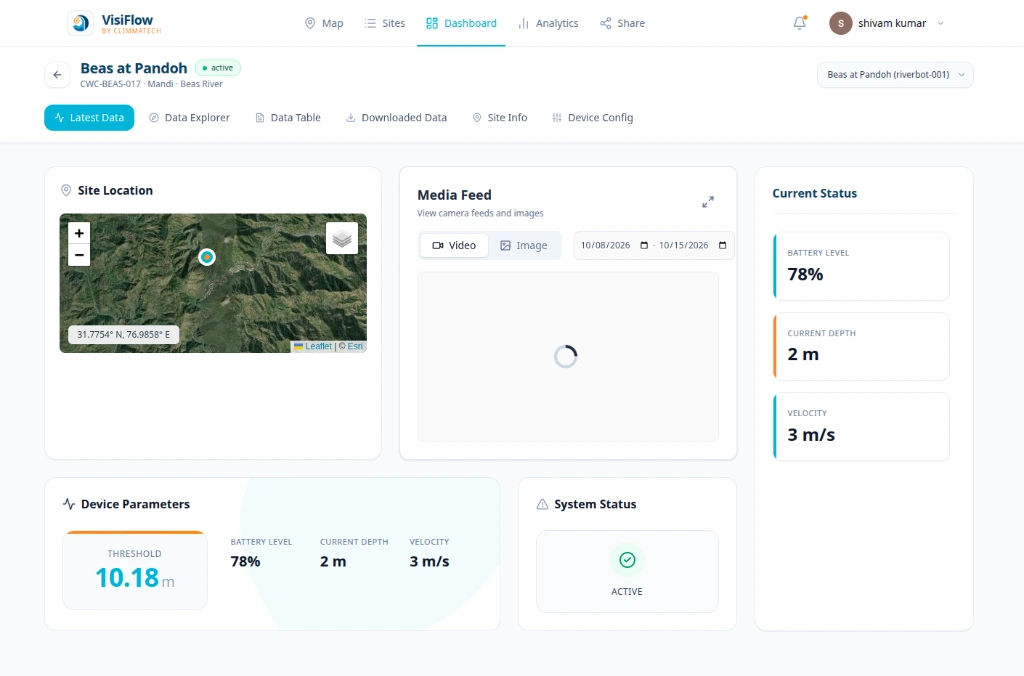
DeviceCloud brings every station into a single record, with live readings, history and alerts.
Data that arrives late cannot warn anyone
Where river and rainfall readings are collected by hand, or reach the control room hours later, forecasts and warnings rest on old information. Stations that fail quietly, with no one told, leave gaps exactly when the data matters most.
Rainfall, level and velocity, in real time
A real-time data acquisition system puts instruments at the places that matter, measures rainfall, water level and surface velocity automatically, and sends the readings to one central system. Stations show their signal and battery status, so gaps are noticed and fixed. Authorities see the whole basin as it changes.
Explore the platformBuilt from these components
Begin with AWLR and AWVLR stations on the main river and its tributaries, add rain gauges across the catchment, and bring in weather stations, from a partner now and from ClimMaTech when our own station launches. DeviceCloud gives you the central view from day one.
A path you can follow step by step
Start with level and velocity
Install Tarang and Pravaah stations at the main river and its key tributaries.
Add rainfall
Place rain gauges across the catchment so rainfall is recorded alongside the river. Each gauge gives a pulse for every 0.25 mm of rain.
Add weather stations
Bring in automatic weather stations at key sites, from a partner now and from ClimMaTech when our own station launches.
Connect warnings
Link the readings to Rakshak sirens and Aagah alerts where communities are at risk.
Frequently asked questions
What is an RTDAS?
A real-time data acquisition system is a network of field stations that measure rainfall, water level and other river data, and send it to a central system automatically.
What can the stations measure?
Water level and surface velocity with radar, and rainfall with a tipping-bucket rain gauge. Automatic weather stations can be added through partners now, and from ClimMaTech when our own station launches.
What are the rain gauge specifications?
A tipping-bucket gauge with an 8 in (about 200 mm) collector. It records 0.25 mm of rain per tip and is accurate to ± 5% at 50 mm/h.
How much does an RTDAS cost?
Our systems are designed to be low cost. The price depends on how many sites you monitor and which devices you choose, so we prepare a proposal for each project. Tell us about your site and we will suggest a layout and a quote.
How do we see the data from all the stations?
DeviceCloud shows every station on one map with live readings, history and alerts. If you need the data in your own system, devices support MQTT and open APIs.